The Story Beneath the Map
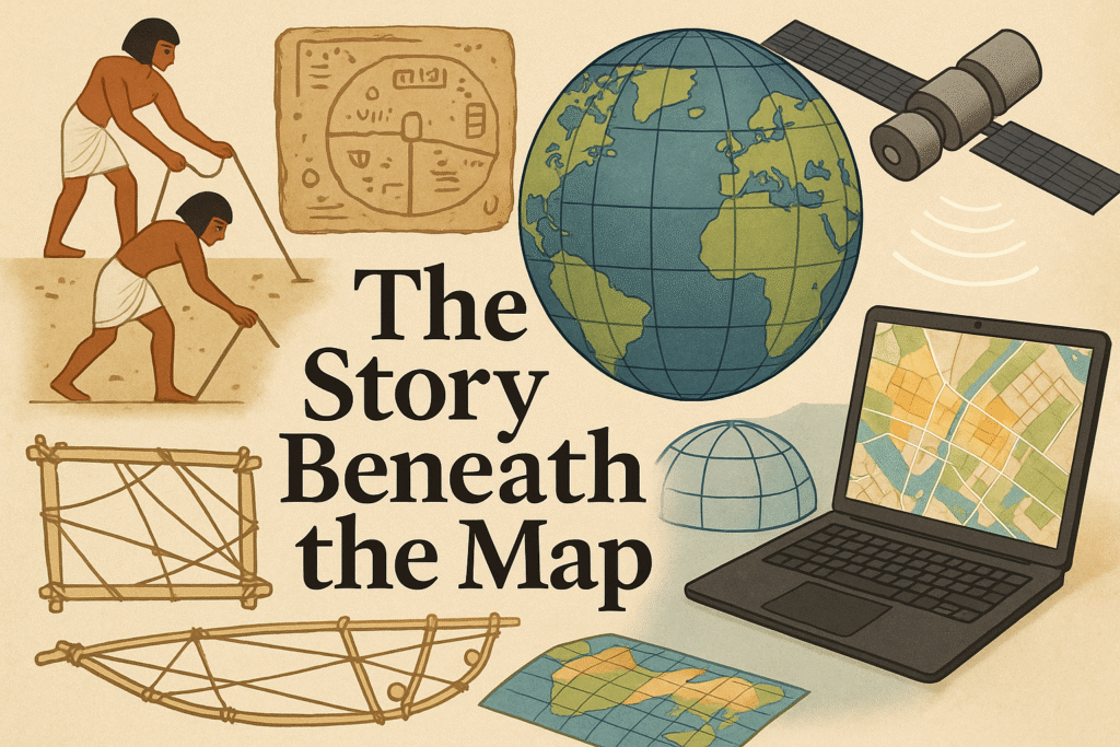
Every time someone opens a map on their phone, they are relying on centuries of ideas, measurements, and technologies that slowly built the foundations of modern GIS. This article traces that journey, from ancient land measurement and early navigation, to the development of datums, projections, satellites, and the first digital map layers created in Canada.
It highlights how early mapping traditions across different cultures expressed a shared human need to understand place, and how scientific discoveries about Earth’s shape led to the reference ellipsoids and datums used in GIS today. The piece explains why flattening Earth requires map projections, how satellites transformed positioning, and how Roger Tomlinson’s work laid the foundation for modern spatial analysis.
The article closes by reminding GIS users that behind every modern application, from web maps to spatial models, lies careful geodesy, engineering, mathematics, and global collaboration. Understanding this foundation strengthens how we use GIS and prepares us for a rapidly evolving geospatial future.