DEPLOY SOLUTIONS – Ottawa Building Enrichment Project
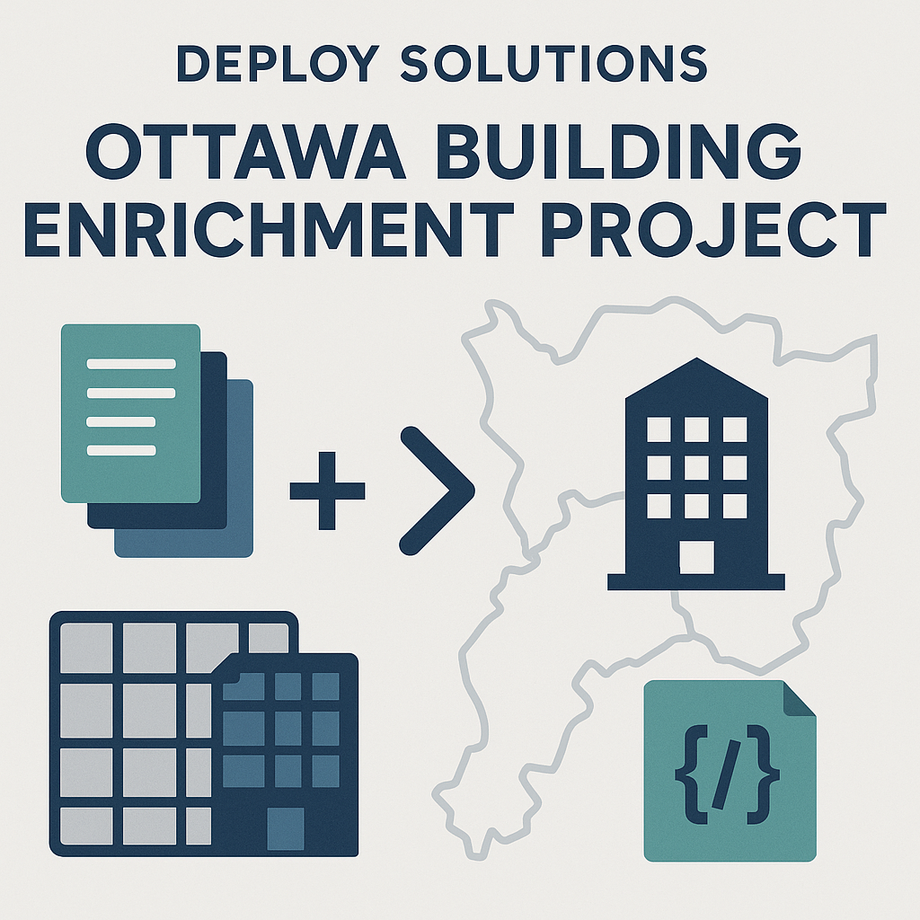
This project supported Deploy Solutions in preparing an enriched building dataset for selected AOI facilities across Ottawa. My role focused on cleaning source layers, standardizing attributes, matching AOI locations to building footprints, and producing spatially consistent outputs ready for analysis and integration.
Context
Deploy Solutions is developing a unified building dataset to support location intelligence, facility characterization, and automated enrichment workflows. As part of this effort, a set of AOI facilities, including hotels, residential complexes, malls, utilities, and public buildings required accurate linkage to their corresponding building footprints across the Ottawa region.
Reliable footprint-to-facility matching is essential for downstream tasks such as risk assessment, infrastructure mapping, and proximity modelling. This project contributed to the stage of the pipeline responsible for preparing clean source layers and ensuring that each AOI was connected to a consistent building record.
Role & Skills
The project centered on geospatial data preparation and enrichment, including:
- Geospatial data cleaning and standardization
- Footprint harmonization and projection alignment (WGS84 + UTM 18N)
- Matching AOI points to building footprints using spatial proximity and attribute consistency
- Preparation of enriched outputs in CSV, GeoPackage, JSON, and database-ready formats
- Quality assurance through visual checks and reproducibility-focused scripting
Approach
The process followed two main phases:
Phase 1 – Building Base Layer Preparation
Two building datasets were prepared for use in Deploy’s unified base layer:
- ODB (Ontario Database of Buildings)
- ON_Structures (Microsoft/OSM hybrid layer)
Key preparation steps included:
- Cleaning attributes and aligning field names
- Repairing geometries and validating footprint shapes
- Standardizing projections to support distance-based matching
- Exporting simplified layers for reproducibility
This resulted in a consistent and reliable foundation for AOI enrichment.
The result was a unified building base that could reliably anchor the AOI matching stage.
Phase 2 – AOI Matching and Enrichment
AOI facilities were linked to building footprints using a combination of:
- Spatial proximity
- Geometry relationships
- Attribute consistency checks
- Candidate ranking for ambiguous locations
Each enriched AOI record included:
- A final matched footprint
- Derived spatial metrics (area, perimeter, basic structural attributes when available)
- An H3 index for spatial referencing
- A confidence score summarizing match reliability
- JSON candidate summaries for QA review
This ensured each facility was supported by a clean, structured, and reproducible enrichment record.
Outputs
Final deliverables were prepared in formats suitable for integration into Deploy’s workflows:
- CSV for lightweight consumption
- GeoPackage with enriched footprints and facility points
- JSON files summarizing candidate matches
- Database-ready tables aligned with Deploy’s schema
- H3 spatial indices to support geospatial indexing
All outputs were formatted to ensure consistency across tools and downstream processes.
Takeaways
The project strengthened workflow design around:
- Multi-source dataset alignment
- Urban building footprint management
- Spatial matching logic and candidate ranking
- Clean and reproducible data delivery
- Collaboration within a broader engineering pipeline
The process underscored the importance of transparent enrichment criteria and structured geospatial QA when working with complex urban datasets.